


The image of the earth's surface on the map on the slats
by
Cartography
ISBN: 1634
Regular price
- Unit price
- / per

This educational poster is ideal for learning map projections and demonstrates the different ways to transfer the globe onto a plane. On it you will find examples of cylindrical, azimuthal, conical, pseudo-cylindrical and other projections. The poster explains the features, advantages and disadvantages of each projection, as well as their purpose and application.
Thanks to the large size of the poster, you will be able to easily see all the details, and the quality cardboard and mounting strips will ensure ease of use. The poster has the seal of the Ministry of Education and Science of Ukraine and meets sanitary standards, which confirms its compliance with educational standards.
- To the "New Post" branch
- Courier of "New Mail"
- To the branch of Ukrposhta
- Payment by Visa/MasterCard, ApplePay, GooglePay
- When receiving the goods
The image of the earth's surface on the map on the slats
by
Cartography
ISBN: 1634
Regular price
- Unit price
- / per
Delivery 1-3 days
Secure payment
Quantity selected exceeds current stock
Shipping calculated at checkout.
Post
Share
Pin it
Adding product to your cart
This educational poster is ideal for learning map projections and demonstrates the different ways to transfer the globe onto a plane. On it you will find examples of cylindrical, azimuthal, conical, pseudo-cylindrical and other projections. The poster explains the features, advantages and disadvantages of each projection, as well as their purpose and application.
Thanks to the large size of the poster, you will be able to easily see all the details, and the quality cardboard and mounting strips will ensure ease of use. The poster has the seal of the Ministry of Education and Science of Ukraine and meets sanitary standards, which confirms its compliance with educational standards.
- To the "New Post" branch
- Courier of "New Mail"
- To the branch of Ukrposhta
- Payment by Visa/MasterCard, ApplePay, GooglePay
- When receiving the goods
You may also like
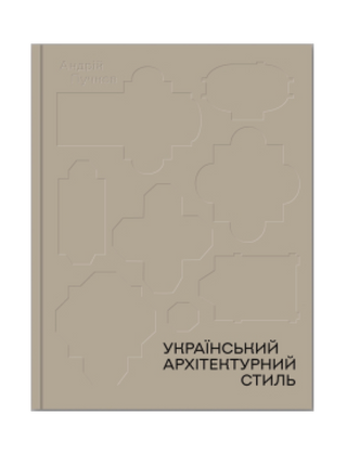
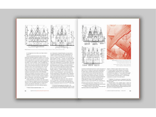
Український архітектурний стиль. Візії, модуси, століття Андрій Пучков
₴1,280.00
- Unit price
- / per
₴1,280.00
- Unit price
- / per
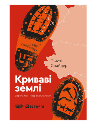
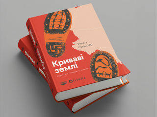
Криваві землі. Європа між Гітлером і Сталіним Timothy Snyder
₴800.00
- Unit price
- / per
₴800.00
- Unit price
- / per
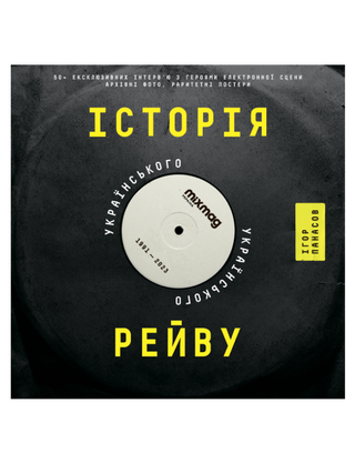
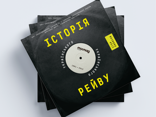
History of Ukrainian rave Igor Panasov
₴900.00
- Unit price
- / per
₴900.00
- Unit price
- / per
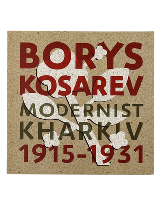
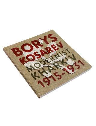
BORIS KOSAREV: Kharkiv Modernism Myroslava Mudrak, Valentina Chechik, Tatyana Pavlova
₴950.00
- Unit price
- / per
₴950.00
- Unit price
- / per
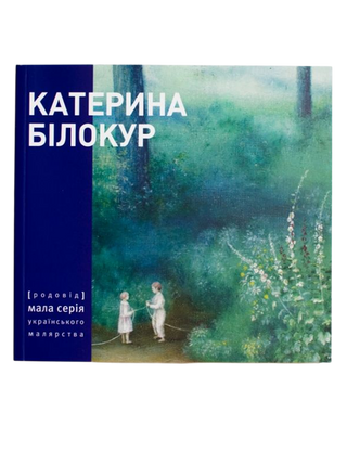
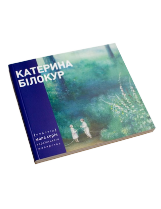
KATERYNA BILOKUR. Painting and prose
₴450.00
- Unit price
- / per
₴450.00
- Unit price
- / per
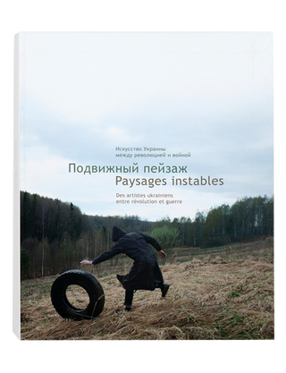
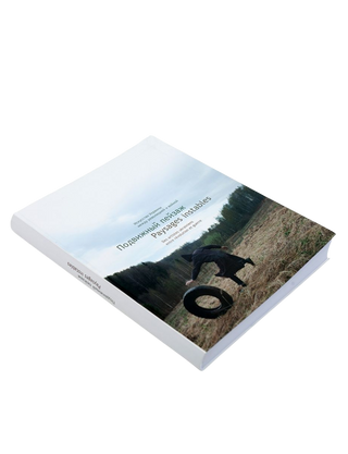
MOVING LANDSCAPE. Art of Ukraine between revolution and war PAYSAGES INSTABLES. Des artistes ukrainiens entre révolution et guerre Natalia Chermalykh, Pierre-Laurent Boullais
₴900.00
- Unit price
- / per
₴900.00
- Unit price
- / per
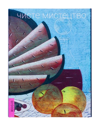
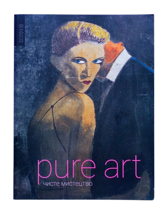
Pure Art Lydia Lykhach, Petro Honchar
₴1,200.00
- Unit price
- / per
₴1,200.00
- Unit price
- / per
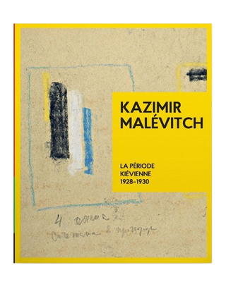
Kazimir Malevitch. La Période Kiévienne 1928-1930 Tetyana Filevska
₴2,000.00
- Unit price
- / per
₴2,000.00
- Unit price
- / per
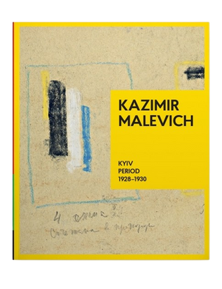
KAZIMIR MALEVICH. Kyiv Period 1928-1930 Tetyana Filevska
₴2,000.00
- Unit price
- / per
₴2,000.00
- Unit price
- / per
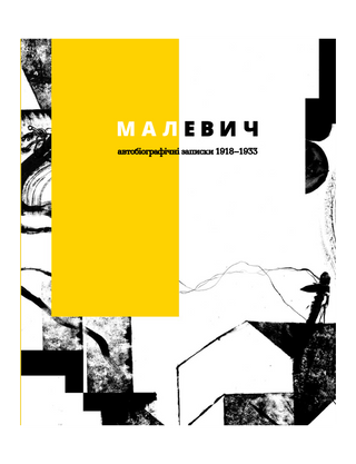
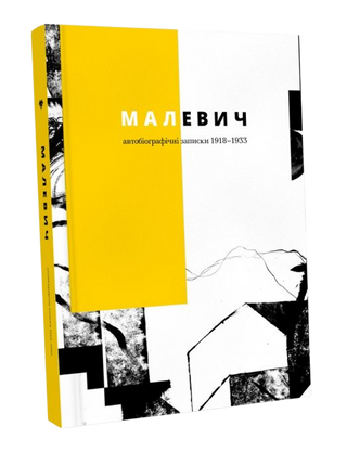
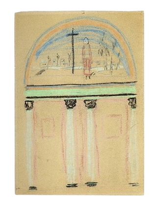
Malevich. Autobiographical Notes 1918–1933 Polina Limina
₴450.00
- Unit price
- / per
₴450.00
- Unit price
- / per
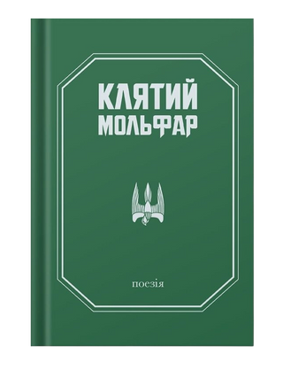
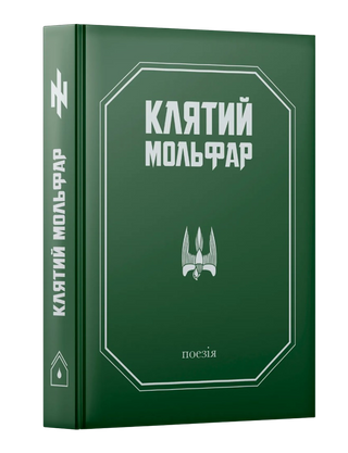
The Cursed Molfar Oleksandr Goshylyk
₴599.00
- Unit price
- / per
₴599.00
- Unit price
- / per
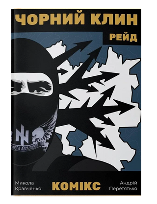
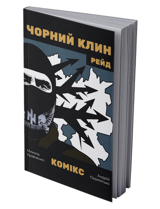
Comic "Black Wedge" Mykola Kravchenko
₴699.00
- Unit price
- / per
₴699.00
- Unit price
- / per
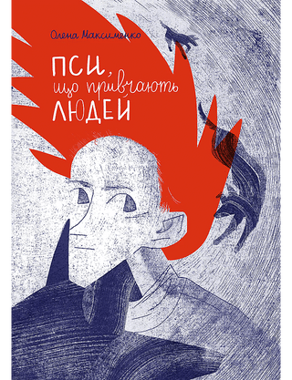
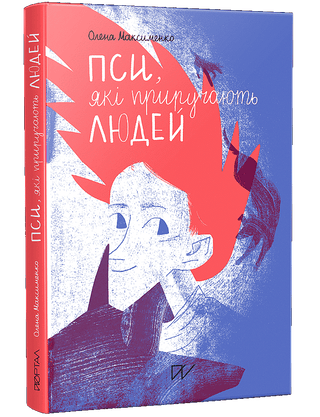
Dogs that tame humans Olena Maksymenko
₴450.00
- Unit price
- / per
₴450.00
- Unit price
- / per
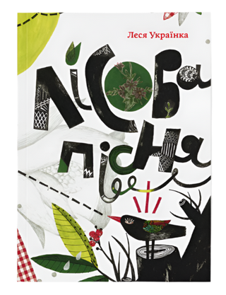
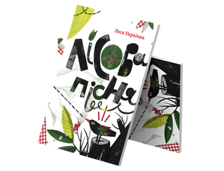
Forest song Lesya Ukrainka
₴640.00
- Unit price
- / per
₴640.00
- Unit price
- / per
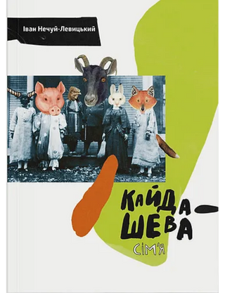
The Kaidashev family Ivan Nechuy-Levytskyi
₴720.00
- Unit price
- / per
₴720.00
- Unit price
- / per
Sold out
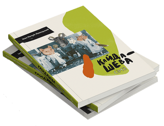
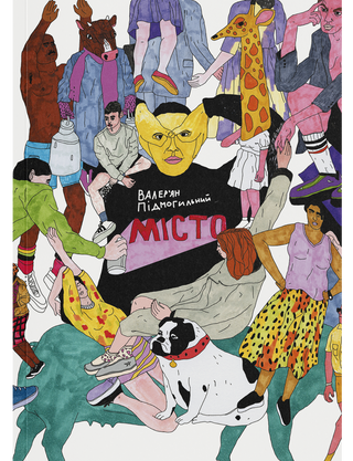
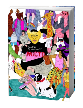
City Valerian Podmohylyny
₴740.00
- Unit price
- / per
₴740.00
- Unit price
- / per
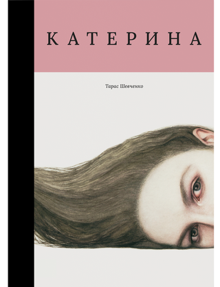
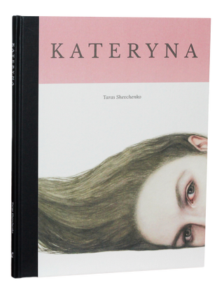
Kateryna Taras Shevchenko
₴950.00
- Unit price
- / per
₴950.00
- Unit price
- / per
Sold out
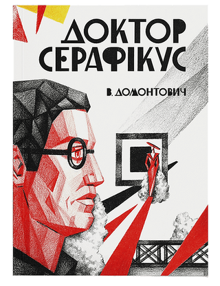
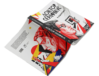
Doctor Seraphicus Viktor Petrov-Domontovych
₴780.00
- Unit price
- / per
₴780.00
- Unit price
- / per
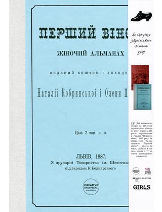
The first wreath Halyna Kotlyuk
₴690.00
- Unit price
- / per
₴690.00
- Unit price
- / per
What is he silent about? Iryna Lisova
₴365.00
- Unit price
- / per
₴365.00
- Unit price
- / per
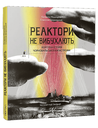
Reactors Don't Explode. A Brief History of the Chernobyl Disaster Kateryna Mikhalitsina, Stanislav Dvornytskyi
₴550.00
- Unit price
- / per
₴550.00
- Unit price
- / per
Dogs that tame humans Olena Maksymenko
₴450.00
- Unit price
- / per
₴450.00
- Unit price
- / per
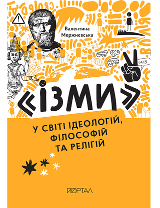
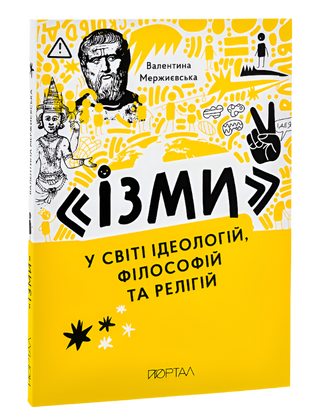
Isms in the world of ideologies, philosophies and religions Valentina Merzhyevska
₴360.00
- Unit price
- / per
₴360.00
- Unit price
- / per
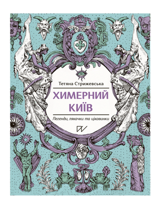
Bizarre Kyiv. Legends, scares and interesting facts Tetyana Stryzhevska
₴395.00
- Unit price
- / per
₴395.00
- Unit price
- / per
The power of steam. The history of steam engines Petro Yatsenko
₴395.00
- Unit price
- / per
₴395.00
- Unit price
- / per
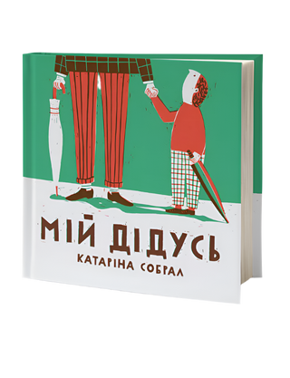
My grandfather Catarina Sobral
₴130.00
- Unit price
- / per
₴130.00
- Unit price
- / per
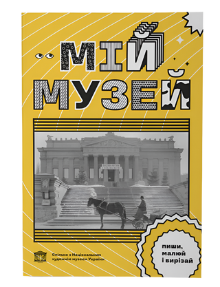
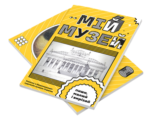
My Museum Anna Kopylova
₴130.00
- Unit price
- / per
₴130.00
- Unit price
- / per
Sold out
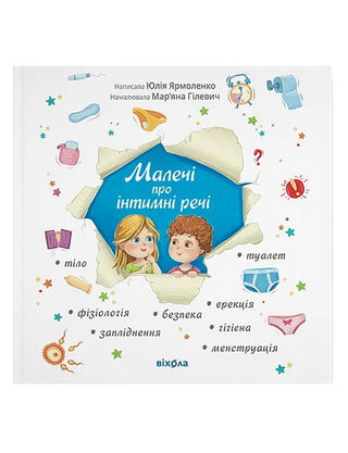
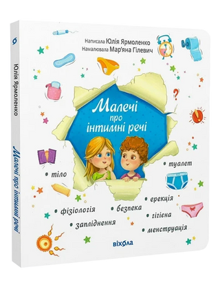
Little things about intimate things Yulia Yarmolenko
₴295.00
- Unit price
- / per
₴295.00
- Unit price
- / per
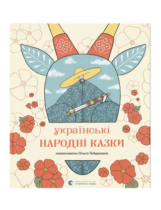
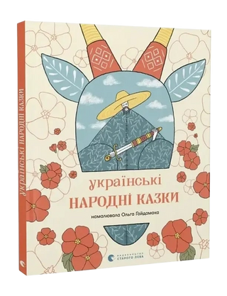
Ukrainian folk tales Natalka Maletych
₴600.00
- Unit price
- / per
₴600.00
- Unit price
- / per


Paddington Picture Books: Best-Loved Paddington Stories Robert W. Alley, Michael Bond
₴602.00
- Unit price
- / per
₴602.00
- Unit price
- / per
By completing this form, you are signing up to receive our emails and you can unsubscribe at any time.