


Atlas of reproductions. Handwritten maps of the XVI-XIX centuries
by
Cartography
ISBN: 1450
Regular price
- Unit price
- / per


Atlas of reproductions. Handwritten maps of the XVI-XIX centuries
by
Cartography
ISBN: 1450
Regular price
- Unit price
- / per
Cover: Hardcover
Number of pages: 216
Language: Ukrainian
Published: 2024
Dimensions: 32.0 x 23.5
Delivery 1-3 days
Secure payment
Quantity selected exceeds current stock
Shipping calculated at checkout.
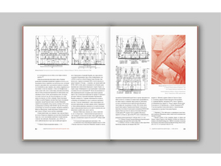
Atlas "Handwritten maps of the XVI-XIX centuries. From the funds of the Central State Historical Archive of Ukraine, Lviv" is the fourth edition in the series "Monuments of Cartography of Ukraine". In this edition, the author U. Kryshtalovych conducted a thorough study that sheds light on the evolution of mapping the western regions of Ukraine over three centuries. The atlas includes handwritten boundary and estate maps of the 16th-19th centuries, which are known as "small cartography" due to their limited territories, as noted by Polish researcher Karol Bucek.
This work is the first attempt to summarize information about early maps and their creators - county geometers and cartographic engineers. A large part of the maps in the edition is published for the first time. The atlas is intended for historians, geographers, local historians, art history researchers, as well as anyone interested in the past of Ukrainian lands.
Post
Share
Pin it
Adding product to your cart
You may also like
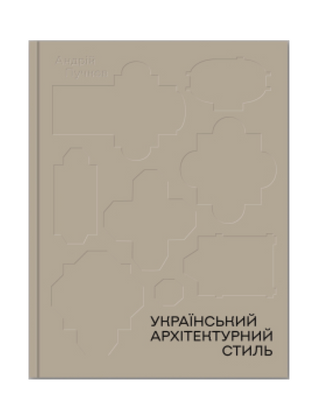
Український архітектурний стиль. Візії, модуси, століття Андрій Пучков
₴1,280.00
- Unit price
- / per
₴1,280.00
- Unit price
- / per
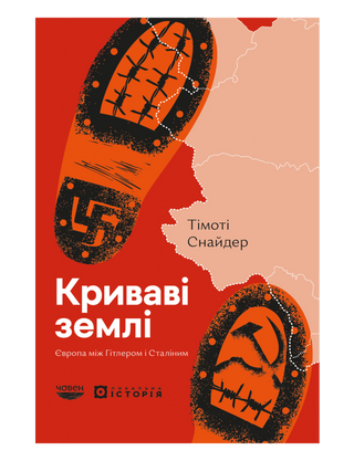
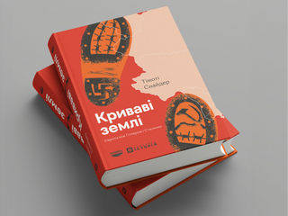
Криваві землі. Європа між Гітлером і Сталіним Timothy Snyder
₴800.00
- Unit price
- / per
₴800.00
- Unit price
- / per
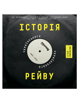
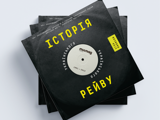
History of Ukrainian rave Igor Panasov
₴900.00
- Unit price
- / per
₴900.00
- Unit price
- / per
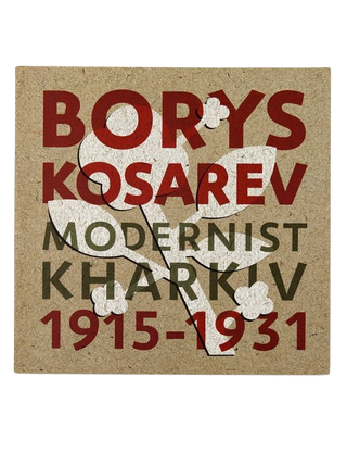
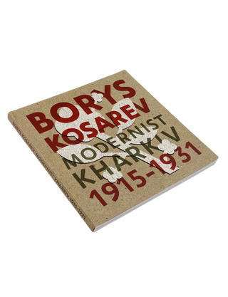
BORIS KOSAREV: Kharkiv Modernism Myroslava Mudrak, Valentina Chechik, Tatyana Pavlova
₴950.00
- Unit price
- / per
₴950.00
- Unit price
- / per
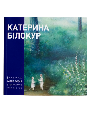
KATERYNA BILOKUR. Painting and prose
₴450.00
- Unit price
- / per
₴450.00
- Unit price
- / per
MOVING LANDSCAPE. Art of Ukraine between revolution and war PAYSAGES INSTABLES. Des artistes ukrainiens entre révolution et guerre Natalia Chermalykh, Pierre-Laurent Boullais
₴900.00
- Unit price
- / per
₴900.00
- Unit price
- / per
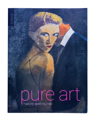
Pure Art Lydia Lykhach, Petro Honchar
₴1,200.00
- Unit price
- / per
₴1,200.00
- Unit price
- / per
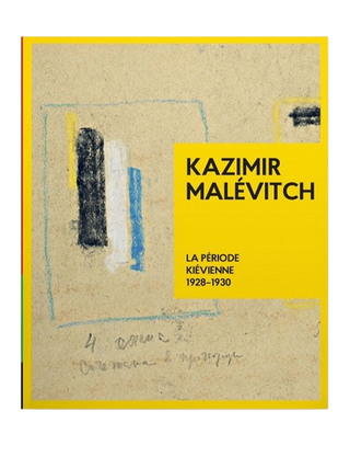
Kazimir Malevitch. La Période Kiévienne 1928-1930 Tetyana Filevska
₴2,000.00
- Unit price
- / per
₴2,000.00
- Unit price
- / per
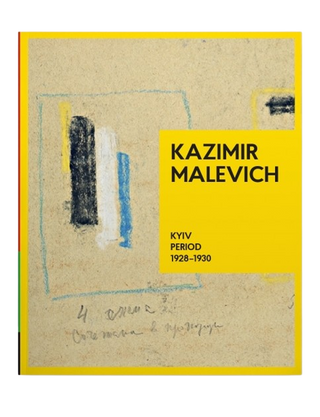
KAZIMIR MALEVICH. Kyiv Period 1928-1930 Tetyana Filevska
₴2,000.00
- Unit price
- / per
₴2,000.00
- Unit price
- / per
Malevich. Autobiographical Notes 1918–1933 Polina Limina
₴450.00
- Unit price
- / per
₴450.00
- Unit price
- / per
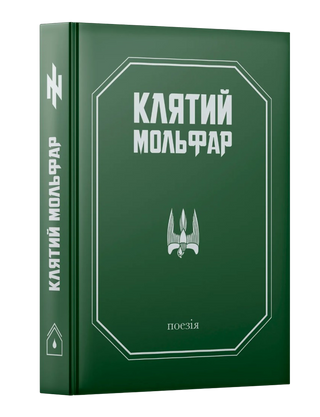
The Cursed Molfar Oleksandr Goshylyk
₴599.00
- Unit price
- / per
₴599.00
- Unit price
- / per
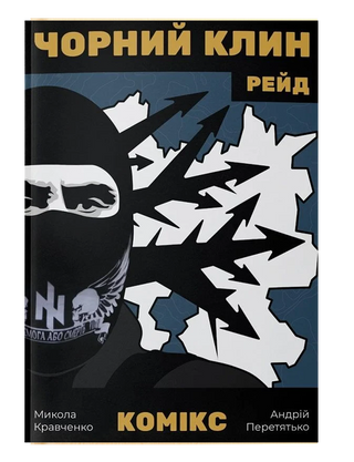
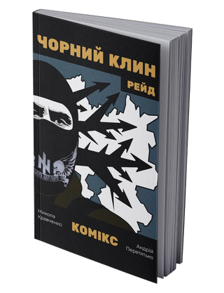
Comic "Black Wedge" Mykola Kravchenko
₴699.00
- Unit price
- / per
₴699.00
- Unit price
- / per
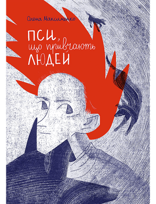
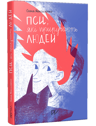
Dogs that tame humans Olena Maksymenko
₴450.00
- Unit price
- / per
₴450.00
- Unit price
- / per
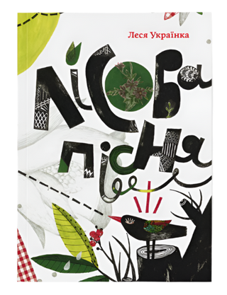
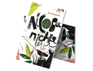
Forest song Lesya Ukrainka
₴640.00
- Unit price
- / per
₴640.00
- Unit price
- / per
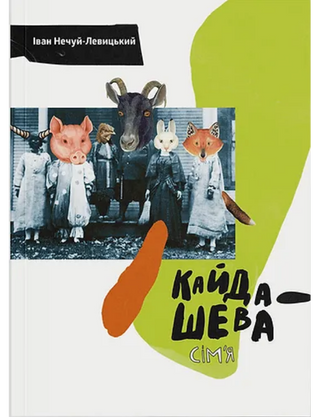
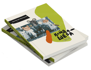
The Kaidashev family Ivan Nechuy-Levytskyi
₴720.00
- Unit price
- / per
₴720.00
- Unit price
- / per
Sold out
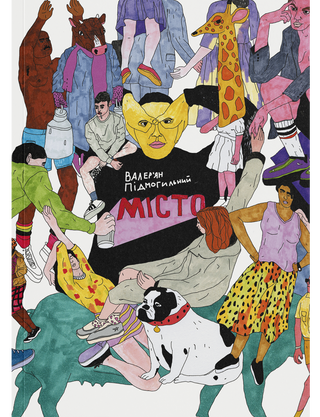
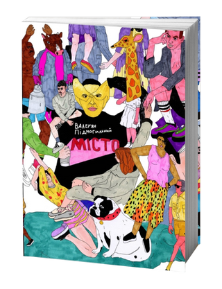
City Valerian Podmohylyny
₴740.00
- Unit price
- / per
₴740.00
- Unit price
- / per
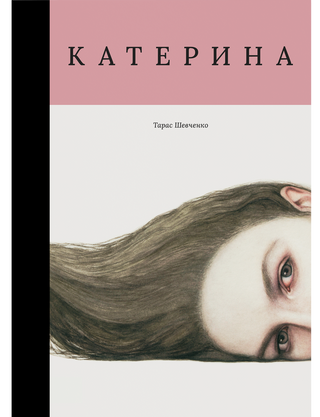
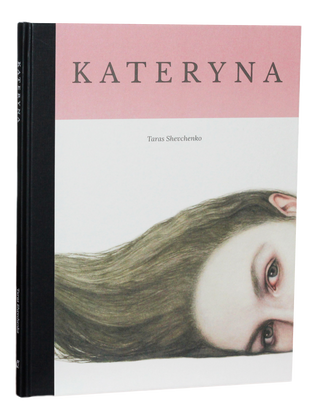
Kateryna Taras Shevchenko
₴950.00
- Unit price
- / per
₴950.00
- Unit price
- / per
Sold out
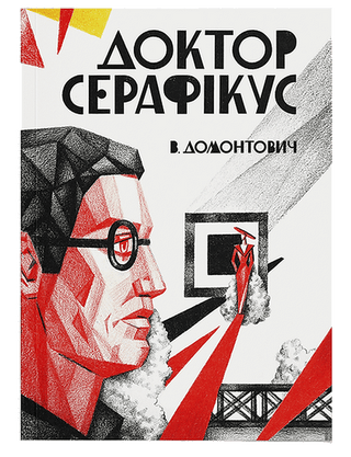
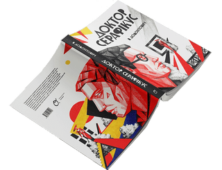
Doctor Seraphicus Viktor Petrov-Domontovych
₴780.00
- Unit price
- / per
₴780.00
- Unit price
- / per
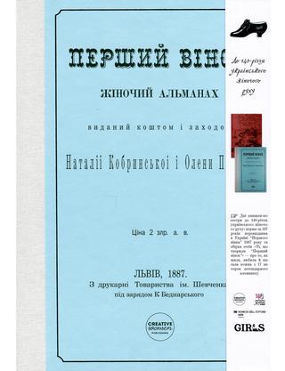
The first wreath Halyna Kotlyuk
₴690.00
- Unit price
- / per
₴690.00
- Unit price
- / per
What is he silent about? Iryna Lisova
₴365.00
- Unit price
- / per
₴365.00
- Unit price
- / per
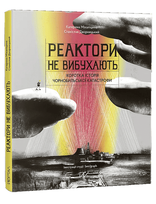
Reactors Don't Explode. A Brief History of the Chernobyl Disaster Kateryna Mikhalitsina, Stanislav Dvornytskyi
₴550.00
- Unit price
- / per
₴550.00
- Unit price
- / per
Dogs that tame humans Olena Maksymenko
₴450.00
- Unit price
- / per
₴450.00
- Unit price
- / per
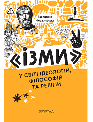
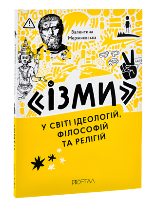
Isms in the world of ideologies, philosophies and religions Valentina Merzhyevska
₴360.00
- Unit price
- / per
₴360.00
- Unit price
- / per
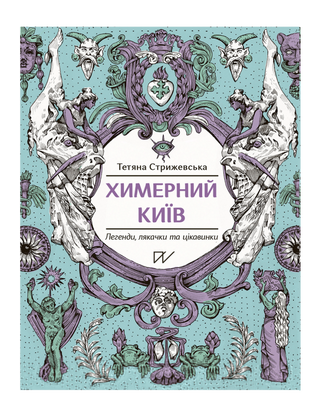
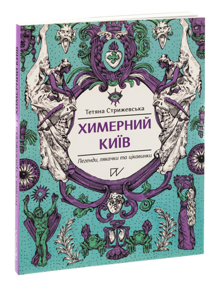
Bizarre Kyiv. Legends, scares and interesting facts Tetyana Stryzhevska
₴395.00
- Unit price
- / per
₴395.00
- Unit price
- / per
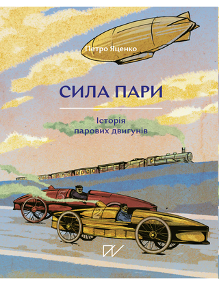
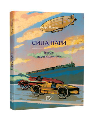
The power of steam. The history of steam engines Petro Yatsenko
₴395.00
- Unit price
- / per
₴395.00
- Unit price
- / per
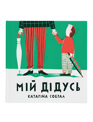
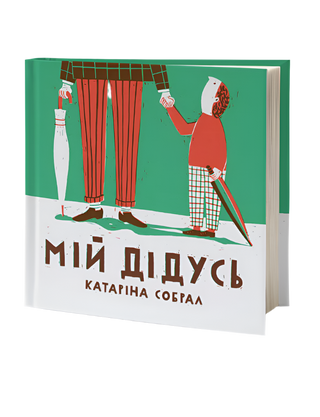
My grandfather Catarina Sobral
₴130.00
- Unit price
- / per
₴130.00
- Unit price
- / per
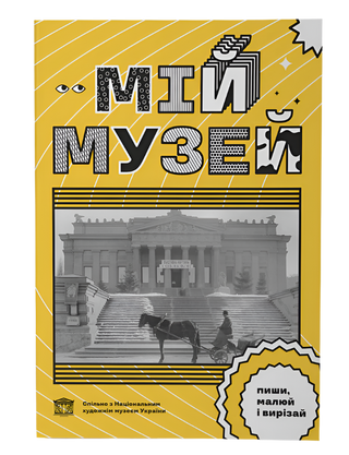
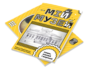
My Museum Anna Kopylova
₴130.00
- Unit price
- / per
₴130.00
- Unit price
- / per
Sold out
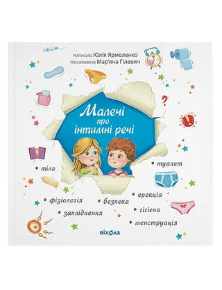
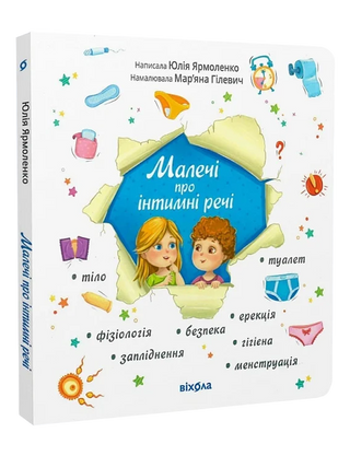
Little things about intimate things Yulia Yarmolenko
₴295.00
- Unit price
- / per
₴295.00
- Unit price
- / per
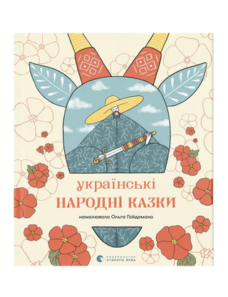
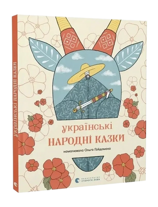
Ukrainian folk tales Natalka Maletych
₴600.00
- Unit price
- / per
₴600.00
- Unit price
- / per


Paddington Picture Books: Best-Loved Paddington Stories Robert W. Alley, Michael Bond
₴602.00
- Unit price
- / per
₴602.00
- Unit price
- / per
By completing this form, you are signing up to receive our emails and you can unsubscribe at any time.